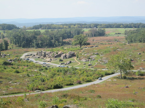
I tend to think the marsh should be there. The creek on the maps is known as Plum Run. The three hexes of marsh north of the ones near Devil's Den should probably not be there.
I found this reference (
https://warfarehistorynetwork.com/what-happened-at-the-devils-den-at-the-battle-of-gettysburg/) which says:
"Seeing the logic of Smith’s decision to cover the Devil’s Den flank, Ward sent off nine of the 10 companies of the 4th Maine under Colonel Elijah Walker to bolster Smith’s two detached guns. Picking their way
down into the low marshy swale, these men formed a rough line in the midst of the boulders located on the northern rim of Devil’s Den that stretched across to the far side of Plum Run."
Also, and more definitive, is 'Elliot's map' of Gettysburg (
https://www.loc.gov/item/99447500/). Specifically drafted in 1863 to show the locations of the veteran's graves it also shows some other features. If you enlarge the map you can see Plum Run to the east of Devil's Den and alongside the creek there you can see map icons indicating marsh. [There are a lot of graves west of the creek, so many that almost every step someone takes on the ground near there is the resting place of a veteran.]
About a quarter of a mile further south (about 4 hexes in the game) along the creek Elliot has shown a more extensive marsh running along the creek; there are no marsh hexes on the WDS map in that area (not one!).
[Edit note: Other than in the article quote (which was accurate), the words 'Marsh Creek' were replaced with 'Plum Run' to give the creek it's correct name (I must have been too preoccupied with marshes, LOL).]