I was able to get to Gettysburg on July 3rd at around the time Pickett's Charge happened. I didn't participate in any of the 160th activities, as they were all well underway by the time I got on site. I did take photos though of the battlefield in a few spots.
Some of them from the stone wall area and the Emmitsburg Road to ones at a distance, as a big thunderstorm came rolling in. Others are from the Trostle Farm, Klingel Farm areas.
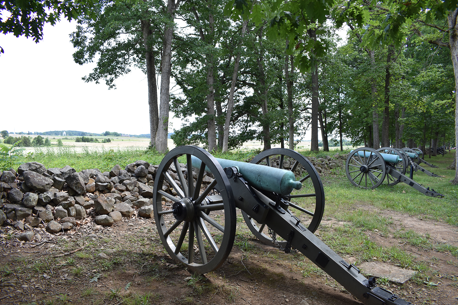
The first stop I made was along West Confederate Avenue at McGraw’s Battery of the Purcell Artillery. Snapped a few shots and proceeded down the avenue. Naturally I got gridlocked for 15 minutes trying to drive past the Virginia Monument.
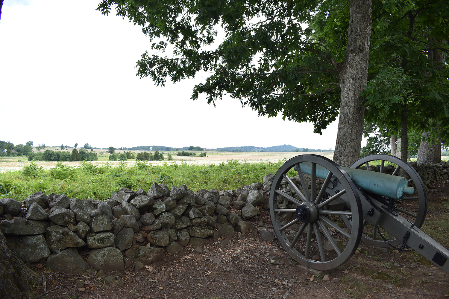
Big & Little Round Tops over the cannon barrel.
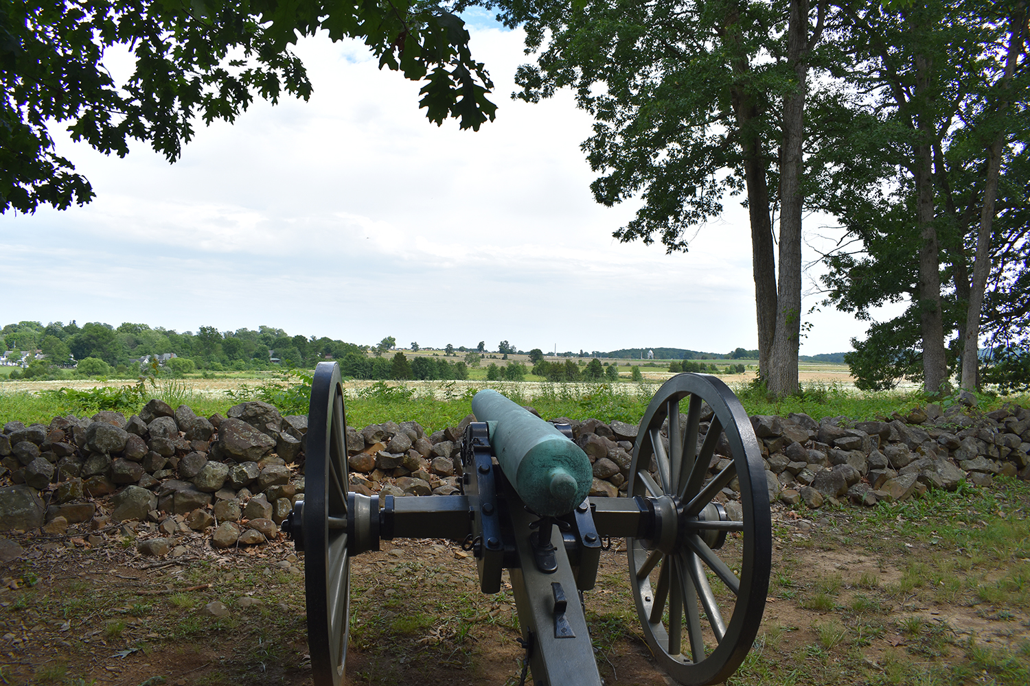
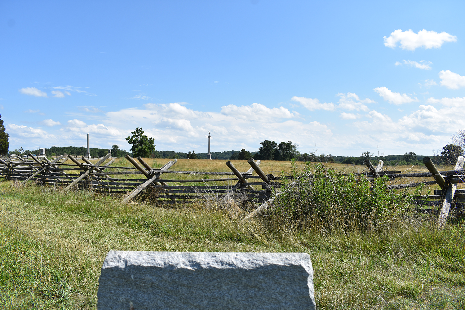
View towards the Union center and the Bloody Angle.
I eventually made it over to the Union side on Cemetery Ridge. Of course it was filled with cars and people, so I took to the field just on the other side of the stone wall. With the basic info provided by the ABT's page:
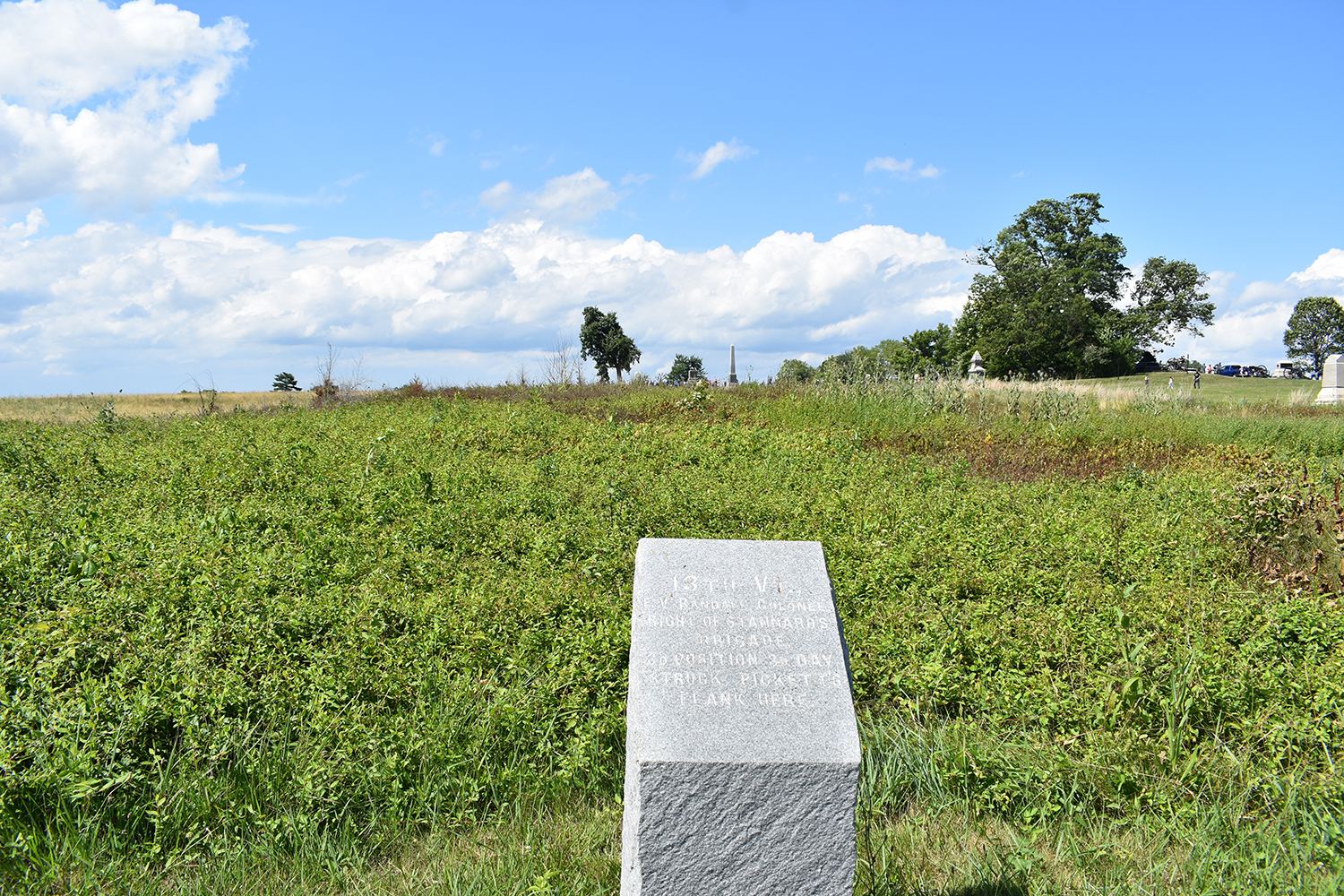
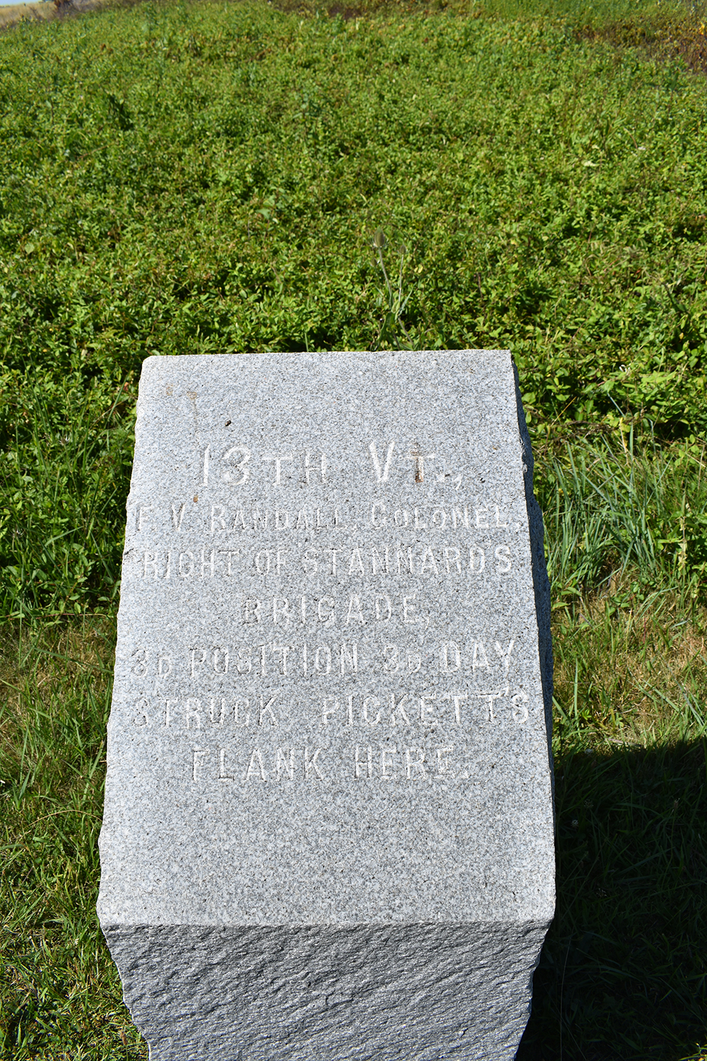
https://www.battlefields.org/learn/maps ... uly-3-1863 I planned it so I'd be at the wall during the timeframe that the Confederates crossed the Emmitsburg to when the remnants of Pickett’s units started to fall back. I chose the 13th Vermont's Right Flank Marker as the spot to observe the moment and events.
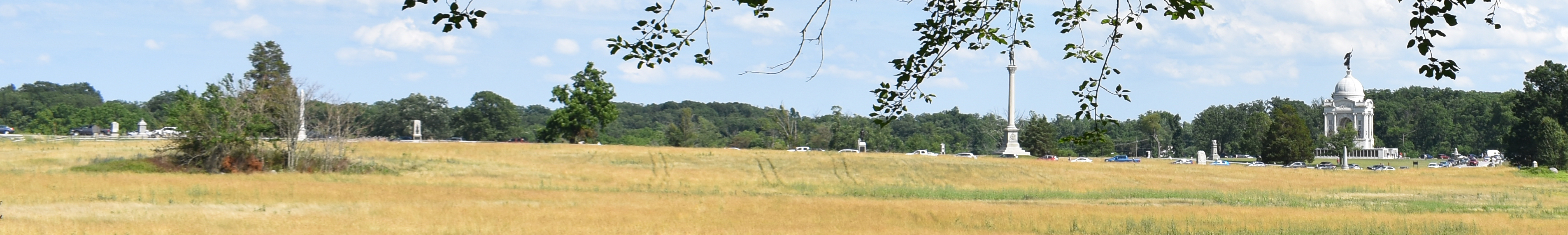
Folks who have been to the battlefield may have noticed that this spot offers an interesting view of the Angle, Clump/Copse of Trees as well as other parts of the battlefield. The other spot I like to go to is the Hancock Wounded Marker just over by where the road bends after the PA Memorial.
Not the best photo as it is a crop and enlargement of the other, but you can see some of the people gathered for the events.
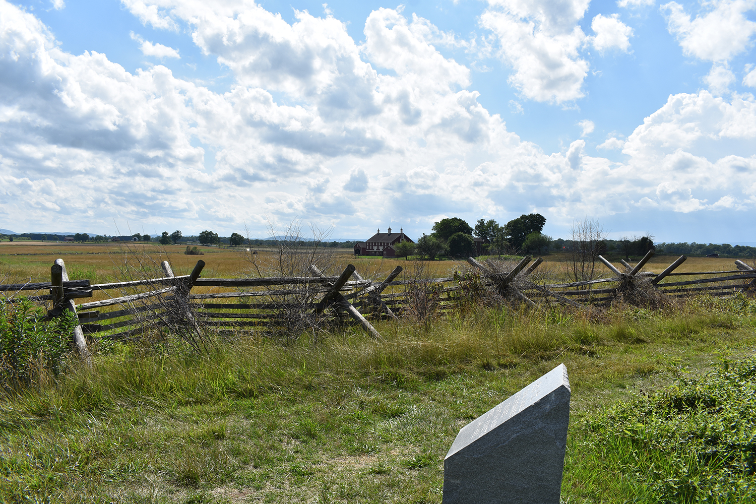
View towards the Codori Farm.
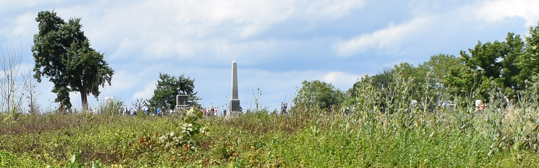
View towards the Vermont State Monument, that has George Stannard atop it.
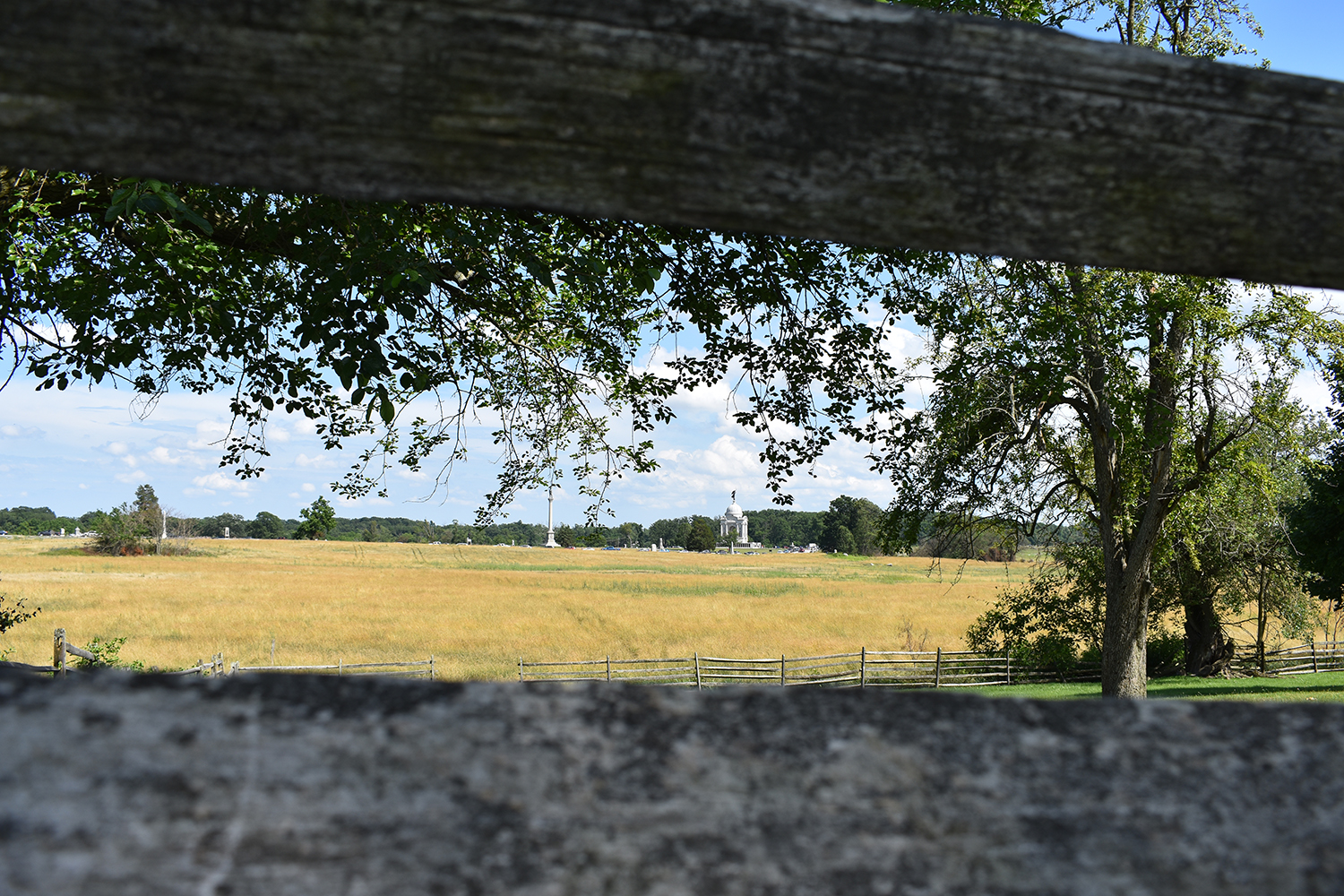
Prior to being right at the stone wall, I had walked out to the Codori Farm, in seek of shade as it was hot. Which is ironic as it is has been three digit temps the last few days. Either way I took in the shade and also a photo towards the Angle and Clump of Trees.
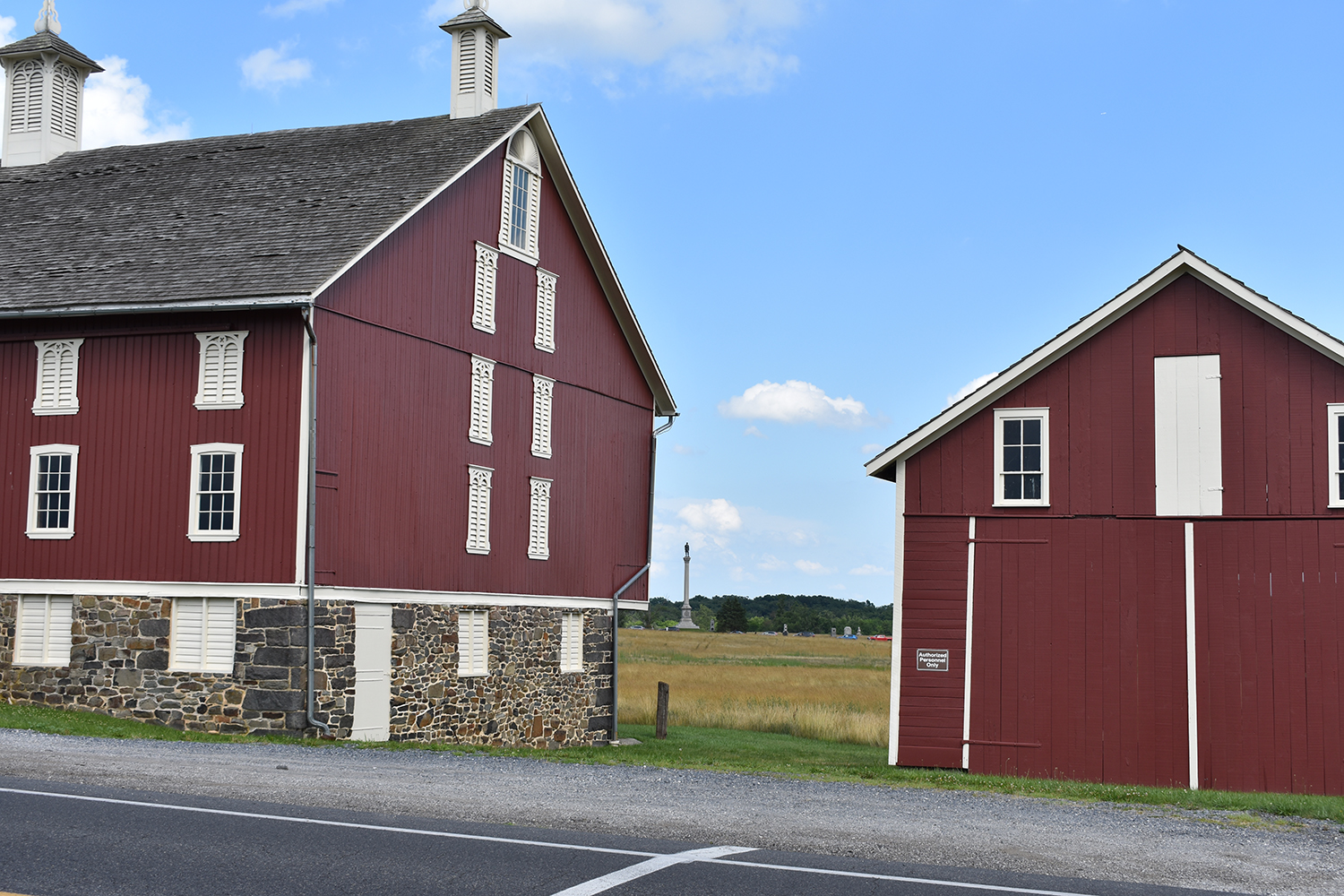
The white buildings on the left are the Brian Farm.
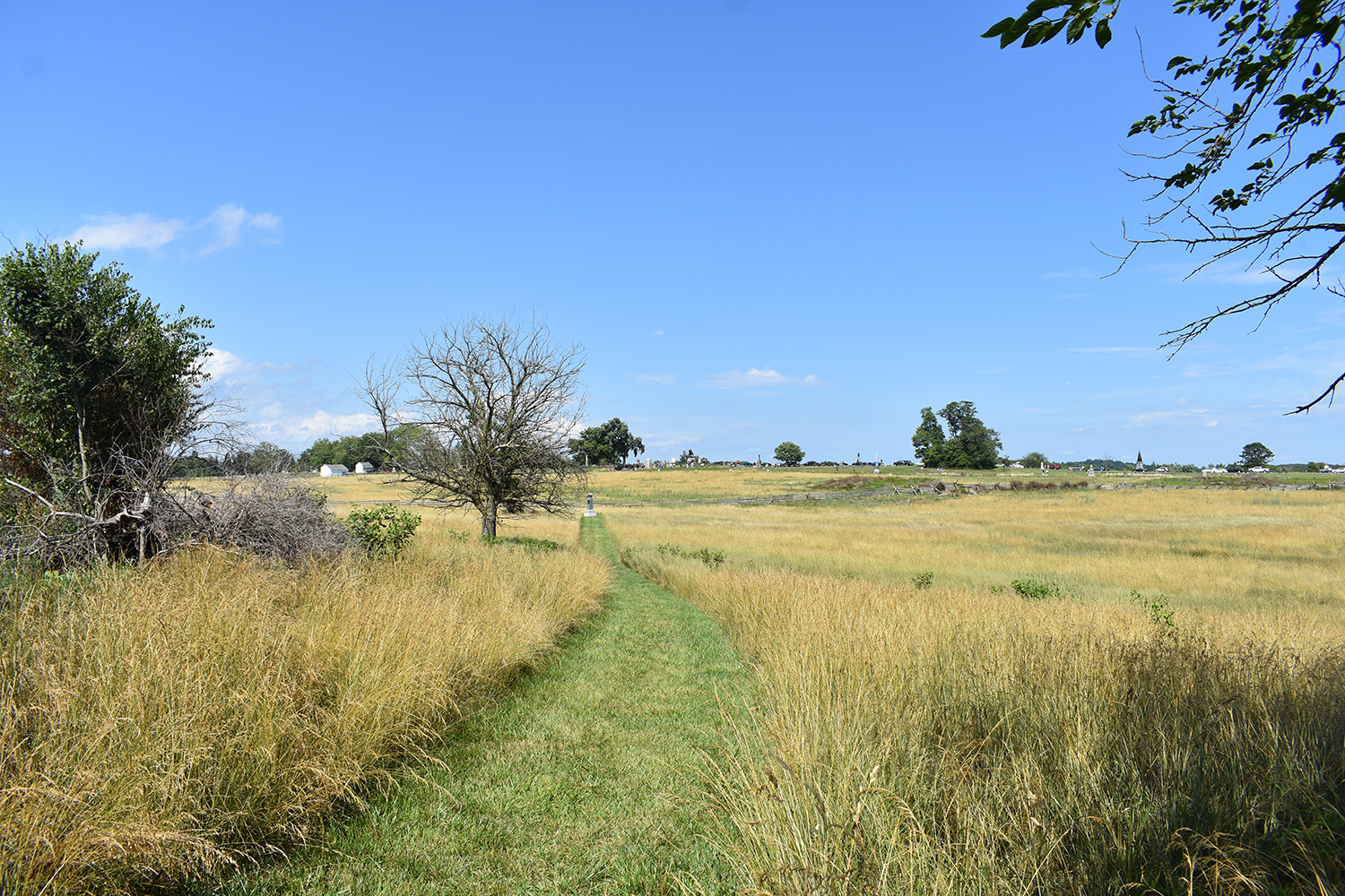
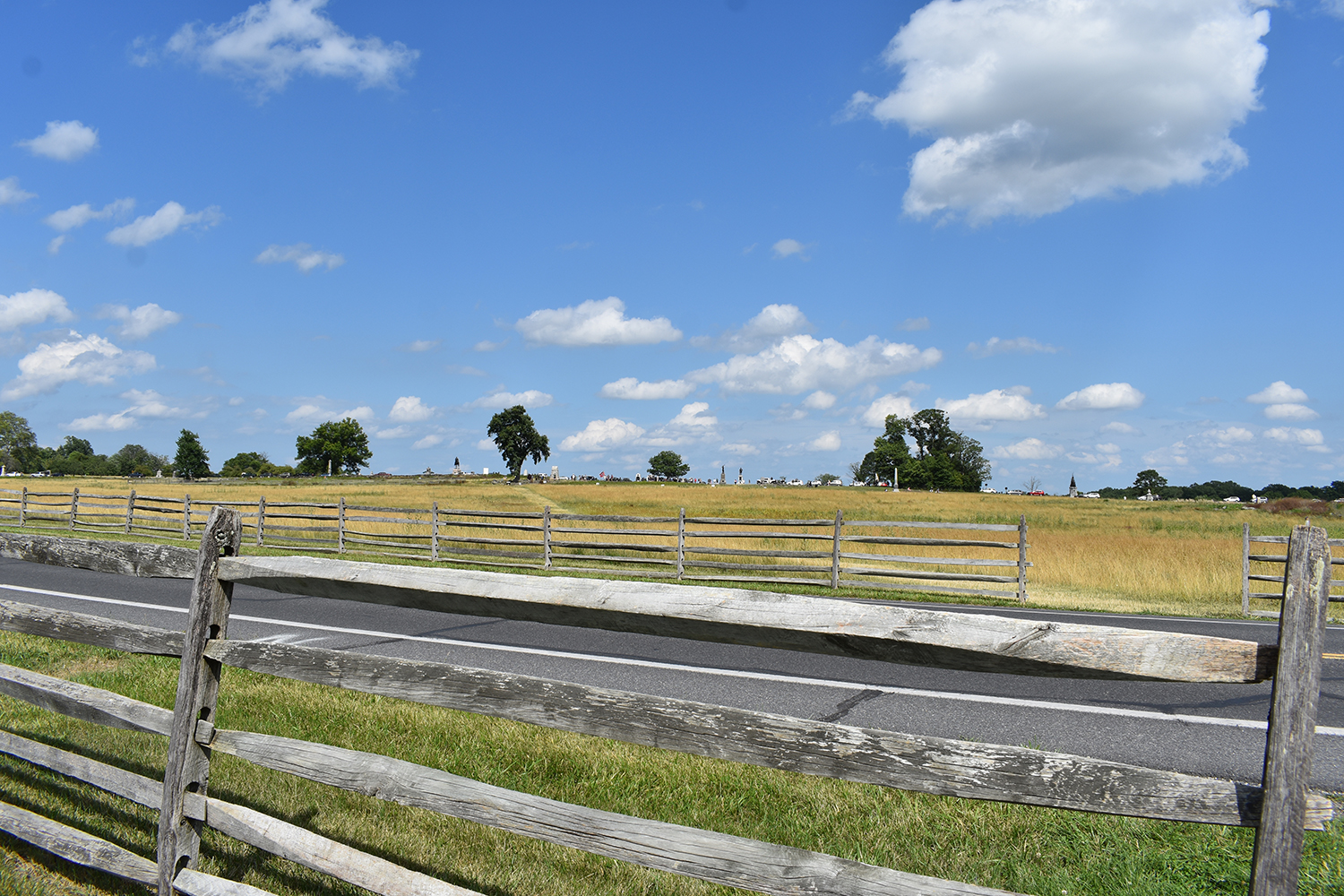
The monument right down the mowed grass is for Colonel George H. Ward, Commander of the 15th Massachusetts Volunteer Infantry Regiment. Stone Sentinels has a writeup on him:
https://gettysburg.stonesentinels.com/m ... orge-ward/ Every once in a while I go out to his monument.
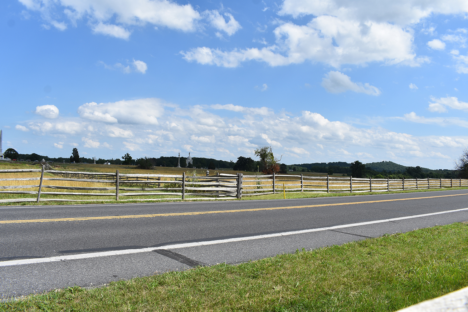
Just a random photo of the Vermont State Monument as I walked past the Codori Farm along the Emmitsburg.
This one is between the fence rails at the Codori Farm. I'm to the left of it just next to the 106th Pennsylvania Volunteer Infantry Regiment Monument. The photos has the Pennsylvania Memorial and Vermont State Monument in it as well some smaller ones in the left of the image.
It's about as "artistic" as I get....haha.....
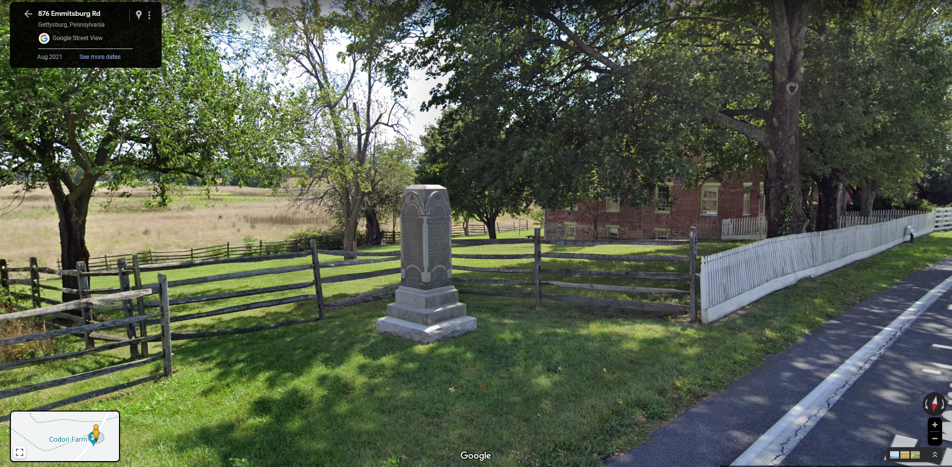
A Google street view of the general are noted above.
This one is another enlargement of the one above so folks can see the multitude of people and cars.
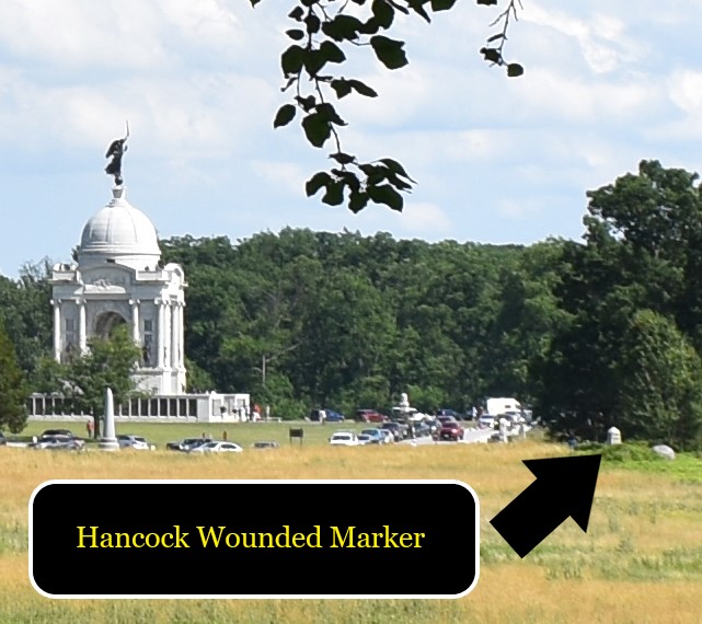
The Hancock Wounded Marker location is noted in this one. I'll have to dig out photos I've taken from there and post some.
Around the time the fall back would have been occurring I went across the Emmitsburg and took three different photos. This one towards the Angle.
This one towards the PA Memorial and Round Tops.
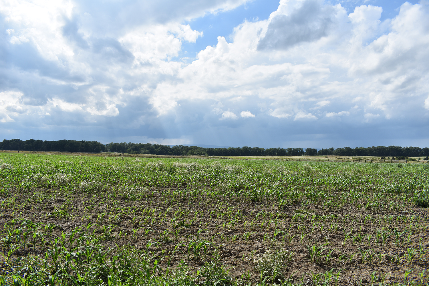
This one towards the Confederate lines, just as the storm that would eventually come, was rolling off of the Blue Ridge Mountains and Caledonia State Park.
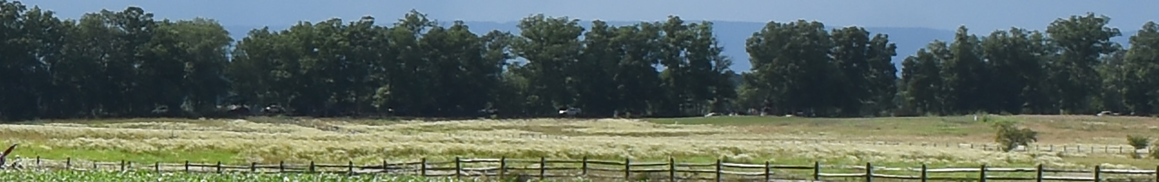
Not the best enlargement to look at, but if you look closely enough at where the grass meets the trees, you can see a number of cars along West Confederate Avenue.
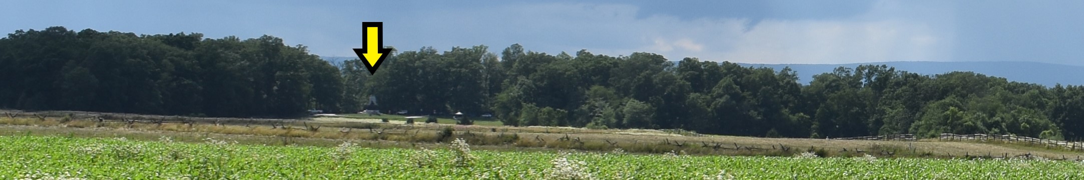
An enlargement that notes with the arrow where the Virginia Monument is in the tree line.
More to come later of the storm and the Trostle Farm & Klingel Farm areas.