The area to the west of the Charleroi-Brussels road is of interest historically as the region through which the Anglo-Dutch Army marched on its way to Quatre-Bras. Campaign Waterloo opens up other possibilities: French forces advancing northward and westward from Binche can disrupt the Allied concentration, and open up an alternate line of advance to Brussels.
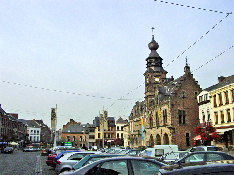
W1453. Market square and Town Hall, Binche. Hex (150,383) on Campaign Waterloo map.
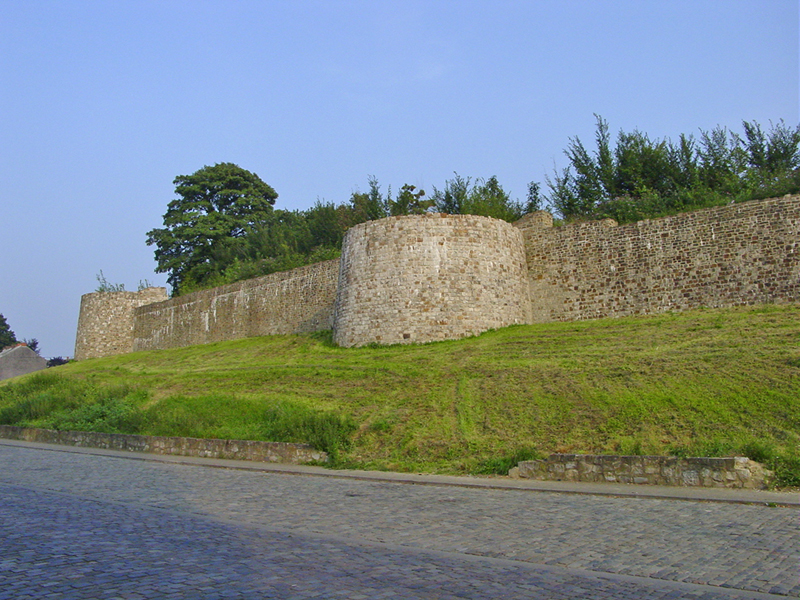
W1487. Medieval town wall of Binche, northwest side. Hex (149,383) on Campaign Waterloo map.

The highest structure in Mons, the Beffroi (belfry) has stood since 1672. Hex (4,348).

The 16th-Century Maison Espagnole (Spanish House) stands just south of the Beffroi in central Mons.

The Collegiate Church of Sainte-Waudru in Mons was constructed between 1450 and 1691. Hex (4,346) on Campaign Waterloo map.

Looking north from Saint-Vaast, between La Louvière and Strépy, approximately hex (115,319) on Campaign Waterloo map. This region, in the triangle Binche-Mons-Nivelles, experienced significant topographic changes between 1815 and 1950 due to extensive coal mining. Some areas subsided, and huge spoil-heaps (terrils) formed artificial hills as high as 209 meters. Two such elevations, now wooded and natural-looking, appear in this view: Terril St-Emmanuel (136 meters) at left, and Terril St-Patrice (141 meters) in the distance at right.
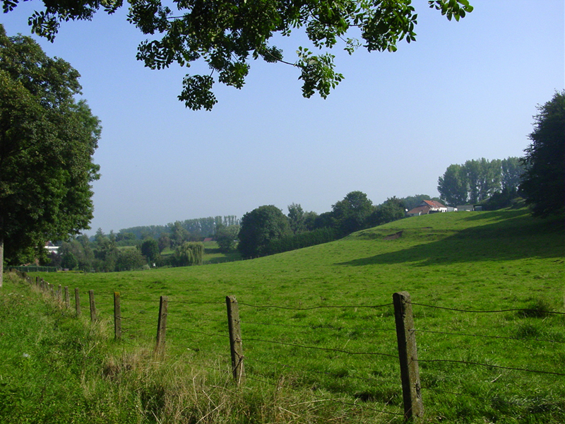
Countryside north of Le Roeulx, looking north. Approximately hex (85,263) on Campaign Waterloo map.
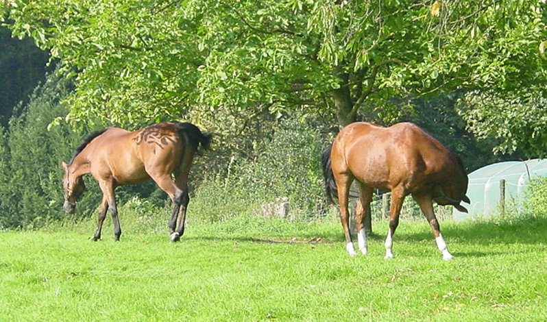
Belgian horses, north of Le Roeulx. Hex (79,263) on Campaign Waterloo map.
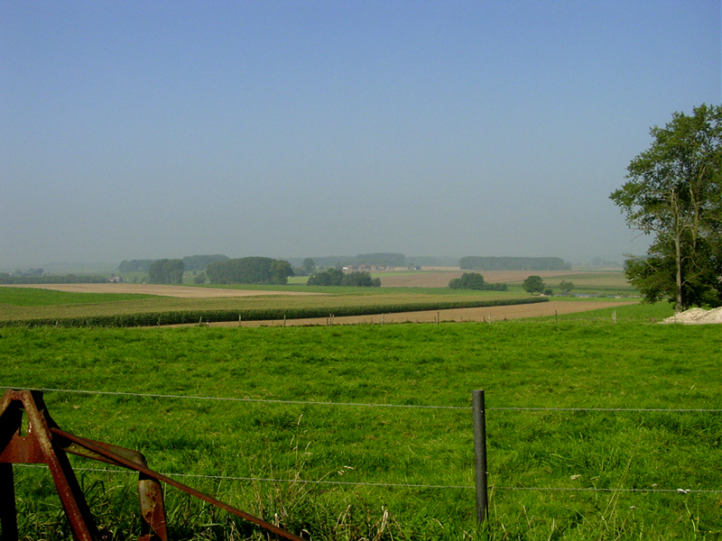
View westward over farmland north and west of Le Roeulx. Hex (77,261) on Campaign Waterloo map.

Looking north from hex (128,171) on the Campaign Waterloo map toward the south end of the Bois de la Houssičre (mysteriously rechristened "Bois de Cutshall" in the game), southeast of Braine-le-Comte.

Château de la Houssière (or, "Château de Cutshall"), hex (130,130) on the Campaign Waterloo map, by the ominously-named Ruisseau Sans Fond (Bottomless Stream).

Looking north from La Houssière Farm, hex (130,130) on the Campaign Waterloo map.

Looking east from hex (171,77) on the Campaign Waterloo map, south of Tubize, across the valley of the River Sennette.

The Château d'Ittre, hex (205,97) on the Campaign Waterloo map, south of Braine-le-Château.
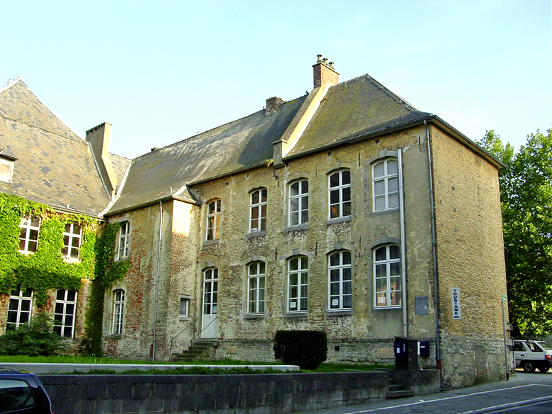
The Recollets Convent, in the center of Nivelles, was founded in 1232, and rebuilt in 1586. Hex (253,154) on the Campaign Waterloo map.