Campaign Eckmuhl map and scenario designer Bill Peters specially requested some images of the area around Rohr, a region of steeply rolling hills and some surprisingly long vistas from the summits.

Photo locations south of Rohr
Looking northwest over Rohr from the hill southeast of town.
Rohr181
Looking south from the Klosterberg hill between Rohr and Obereulenbach, over Obereulenbach village.
Rohr182
Looking southeast from the Klosterberg, toward Niedereulenbach and the valley of the Große Laaber.
Rohr183

Looking northeast from the Klosterberg south of Rohr. The very distant ridge is part of the heights above Bachl, on the north bank of the Danube east of Ratisbon.
Rohr184
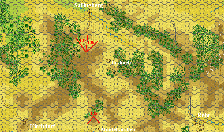
Photo locations west of Rohr

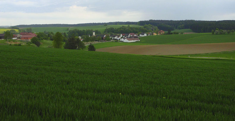
Looking south toward Mantelkirchen, west of Rohr.
Rohr185

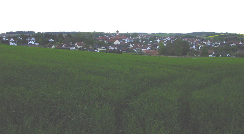
Looking north toward Sallingberg from the highest point on the Kirchdorf-Sallingberg road.
Rohr186

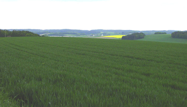
Looking northwest from the highest point on the Kirchdorf-Sallingberg road. The village of Sallingberg is at the right. The distant ridges are north of Kelheim, on the north bank of the Danube.
Rohr187