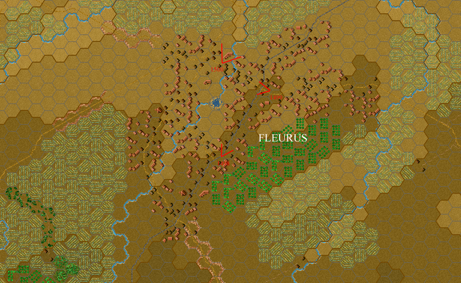
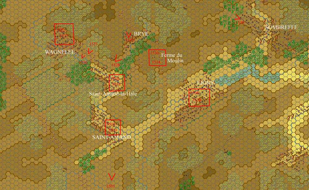
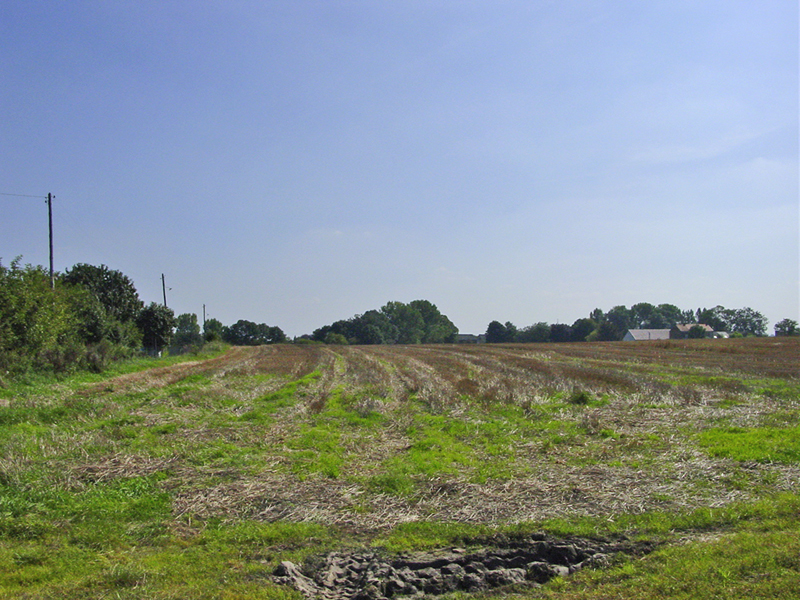
The geography of this district, the site of Napoleon's victory over the Prussians on 16 June 1815, is imprinted upon the brains of veteran players of Prelude to Waterloo. It will also feature prominently in most matches of Campaign Waterloo, as a natural zone of collision between French and Prussian forces.
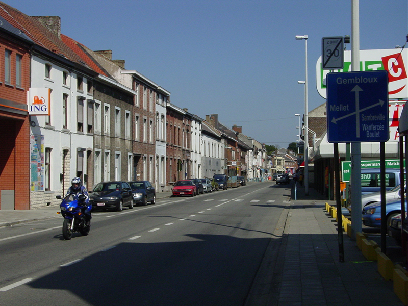
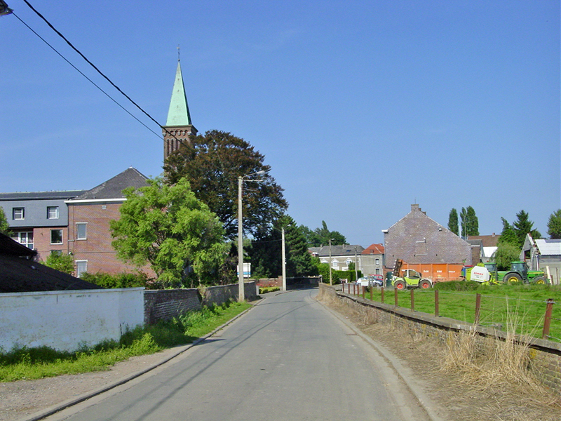
W1498. Looking north-northeast up the Chaussée de Charleroi, the main street of Fleurus, Belgian Highway N29, which runs in a straight line to Gembloux.
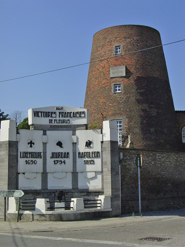
W1499. The Moulin Naveau, the windmill (now missing its top section) in Fleurus used by Napoleon as an observation post on 16 June 1815. The adjacent monument commemorates the three French victories won near Fleurus, by the Duc de Luxembourg (1690), Jourdan (1794), and Napoleon (1815).
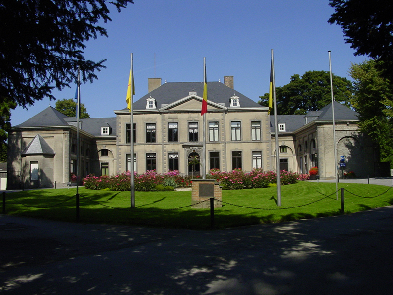
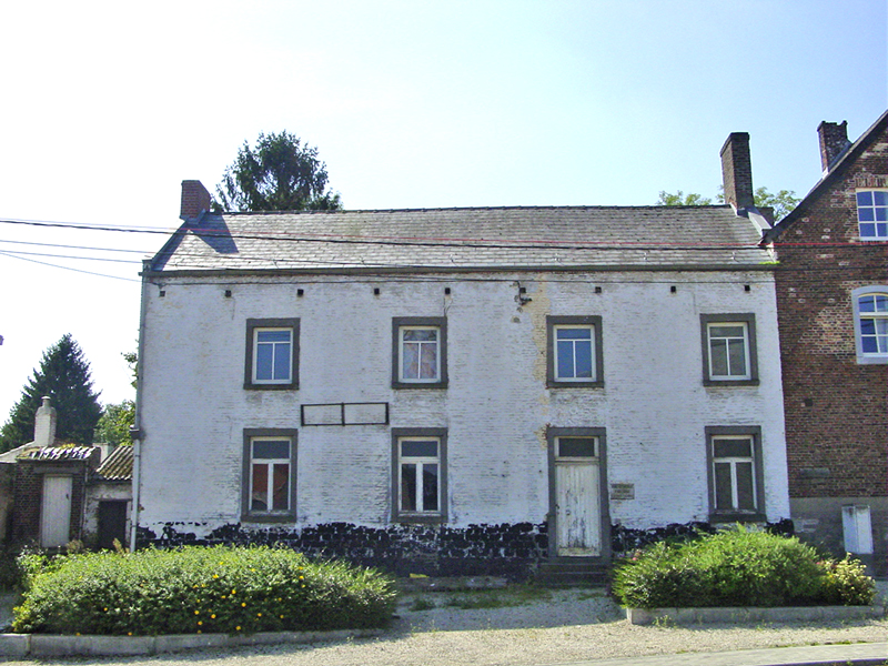
W1500. The Château de la Paix, at the north edge of Fleurus, hex (423,283) on the Campaign Waterloo map. Napoleon slept here on the night of 16-17 June 1815.
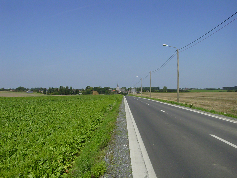
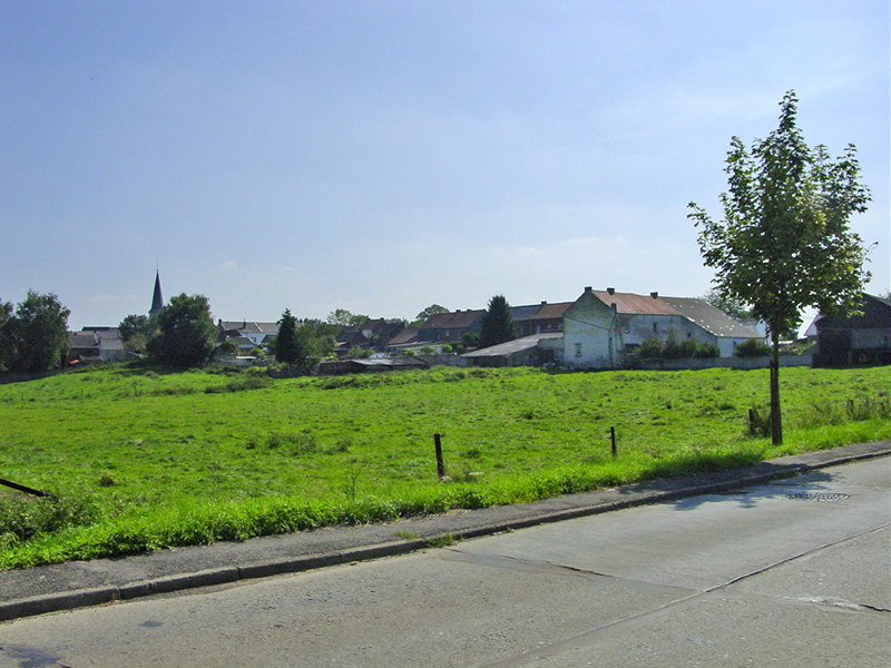
W1501. Looking north to Saint-Amand on the road from Fleurus.
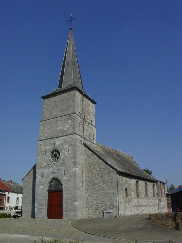
W1502. The church in Saint-Amand, unchanged from its appearance in 1815. Hex (426,261) on Campaign Waterloo map.
"...the II/28th advanced frontally [against] St Amand with charged arms. Blücher personally led them into the middle of St Amand, driving all before them except one battalion of French who were well ensconced in a farmhouse at the point where St Amand la Haye joined St Amand. Unable to deploy in the narrow streets, and under continuous heavy fire, the Prussians now suffered severely for their sucess. Major von Brockhausen, commander of the II/28th, fell, and the crossfire from the French defenders threw the Prussians into a state of confusion." (p. 273)
"The position now was that the 6th Regiment was in possession of most of St Amand, with the 2nd Westphalian
Landwehr in support, and the 28th holding the village church." (p. 281)
(Excerpts from 1815: The Waterloo Campaign, by Peter Hofschröer, Greenhill, 1998
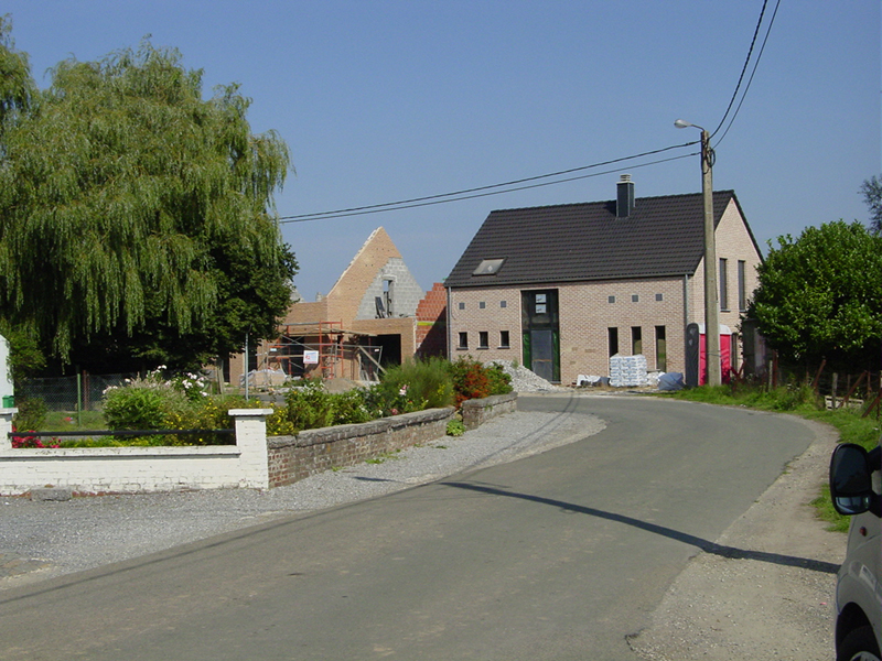
W1503. Old house facing the church in Saint-Amand.
W 1504. House north of the church in Saint-Amand. Hex (427,261) on Campaign Waterloo map.
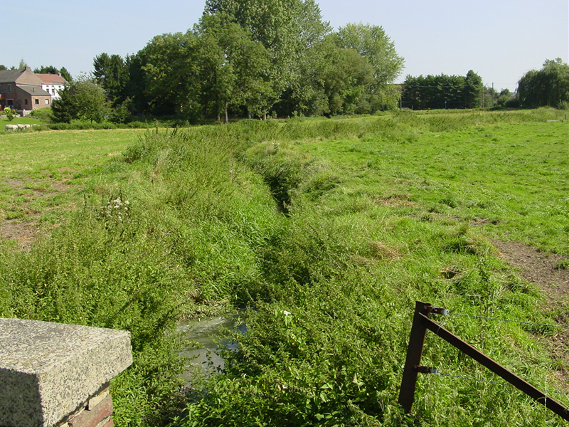
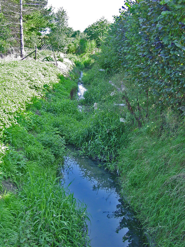
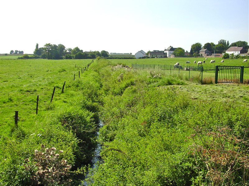
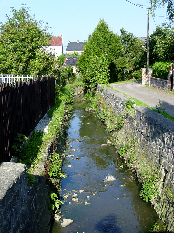
W1505. Looking southeast along the Ligne Brook from the main bridge in Saint-Amand. The brook is remarkably narrow and shallow, hardly appearing to be a militarily significant barrier, just a ditch about 1 meter deep and 1-2 meters wide, with a few centimeters of water at the bottom. The greatest change from 1815 may be that, due to improved drainage, the meadows lining the Ligne Brook are now dry and firm. Hofschröer wrote: "The brook itself was only one or two meters wide, but the valley and its marshy terrain presented a formidable obstacle..."
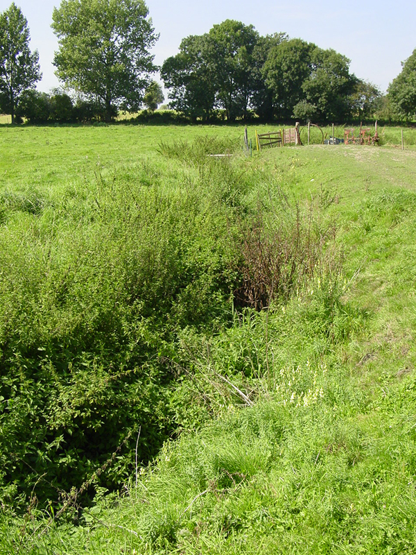
W1506. Looking westward (upstream) along the Ligne Brook, west of the main bridge in Saint-Amand.
W1507. The land north of the Ligne Brook in Saint-Amand, looking eastward. Hex (426,256) on the Campaign Waterloo map.
W1508. The houses on the main east-west street of Saint-Amand, seen from the bridge over the Ligne Brook, looking southeastward (note steeple of Saint-Amand church). This row of buildings is an ever-popular site for French batteries in Prelude to Waterloo.
Saint-Amand as depicted on the Prelude to Waterloo 3-D map.
W1509. Looking eastward along the Ligne Brook, due north of the Saint-Amand church.
W1510. View from the southeast edge of Saint-Amand-la-Haie, looking southeast toward Saint-Amand.
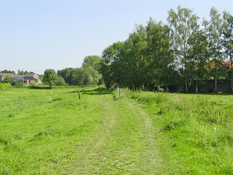
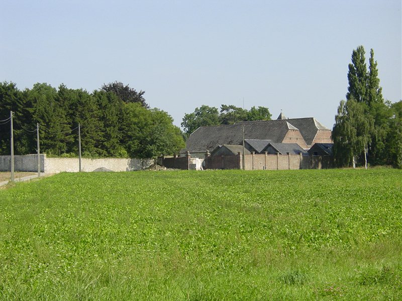
W1511. La Haie Farm, south side, looking north from southeast edge of Saint-Amand-la-Haie.
W1513. La Haie Farm: view through west gate to courtyard and farmhouse. Hex (425,251) on Campaign Waterloo map.
W1514. La Haie Farm, west side. Note plaque on barn wall, commemorating death of Général Jean-Baptiste Girard, commander of the 7e Division, killed here on 16 June 1815.
"Reinforcements were called up from the second line, namely the I/6th Regiment, under Major von Rohr, to attempt to storm the farmhouse. Despite a determined assault, the Prussians were unable to take it, and they fell back, disorganized, to the hedges at the edge of the village to reform. Here, the rallying troops were surprised by French cavalry who threatened to take the battalion's colour. Thanks to an alert colour-bearer, Sergeant Blottner, and a desperate defence by the colour-party, the French were cheated of their hoped-for spoils. During the French counter-attack in the area of the farmhouse, General Girard was mortally wounded." Peter Hofschröer, 1815: The Waterloo Campaign, p. 273.
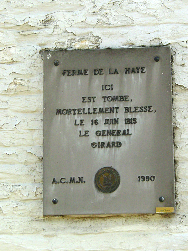
W1515. Plaque on barn wall, La Haie Farm.
"Here fell, mortally wounded, on 16 June 1815, Général Girard."
W1516. View to the southeast from La Haie Farm. Note steeple of Saint-Amand church at right rear.
W1517. Looking southwest along the Ligne Brook from the bridge at Saint-Amand-la-Haie. La Haie Farm at right.
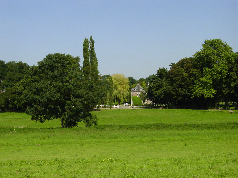
W1518. Looking north from Saint-Amand-la-Haie to the Château de l'Escaille, a favorite position for Prussian Jägers in Prelude to waterloo, across the Ligne Brook.
W1519. Château de l'Escaille, outbuildings, west side. Hex (426,244) on Camapign Waterloo map.
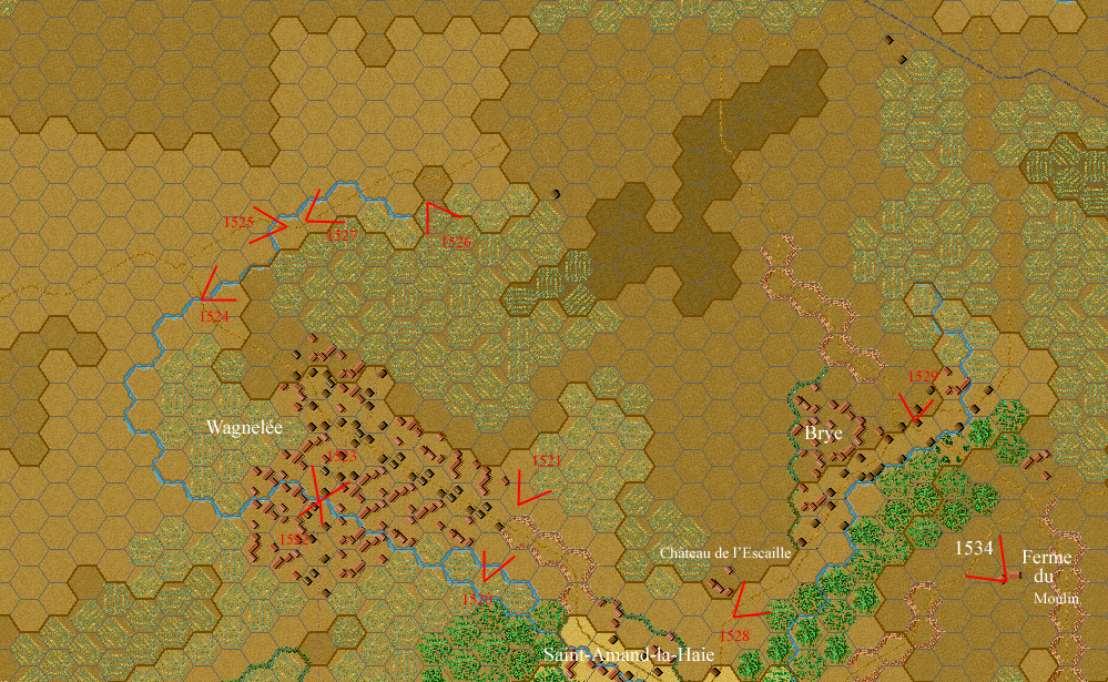
W1520. The Pont du Major (Major's Bridge) between Saint-Amand-la-Haie and Wagnelée, hex (418,244) on Campaign Waterloo map. The Ligne Brook runs among the trees to the right of the road. Prelude to Waterloo has a bridge here.
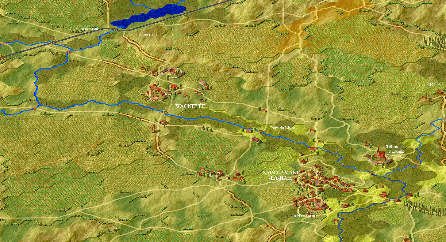
Section of the Prelude to Waterloo 3-D map from Saint-Amand-la-Haie to Wagnelée.
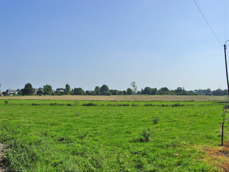
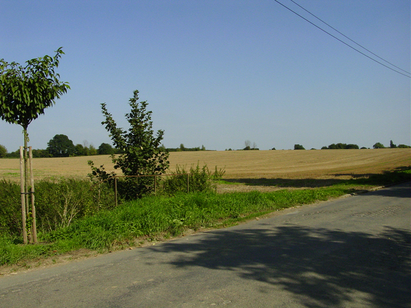
W1521. Open fields north of Pont du Major, between Saint-Amand-la-Haie and Wagnelée.
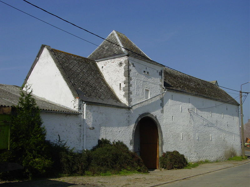
W1522. Old barn south of south bridge at Wagnelée. Hex (412,242) on Campaign Waterloo map.
W1523. Wagnelée, looking north across the south bridge.
W1524. Looking northeast over the fields north of Wagnelée, from the west bridge, hex (408,236) on Campaign Waterloo map.
W1525. The Old Roman Road (Chaussée Brunehaut) crossing the Ligne Brook, northwest of Wagnelée, hex (411,234) on Campaign Waterloo map, looking west.
W1526. Looking southeast into the beginning of the sunken road that runs from the Old Roman Road, near its crossing of the Ligne Brook, southeast into Wagnelée. Prelude to Waterloo shows this as a sunken road, while Campaign Waterloo represents this as a path running into the field at hex (416,233). It is certainly a sunken road today, strictly one-lane, with no place to pull over -- and local drivers roar through in either direction at an alarming rate of speed. Not a road for the faint-hearted!
W1527. Looking northeast up the Old Roman Road (Chaussée Brunehaut) from just east of the crossing over the Ligne Brook, hex (412,233) on the Campaign Waterloo map.
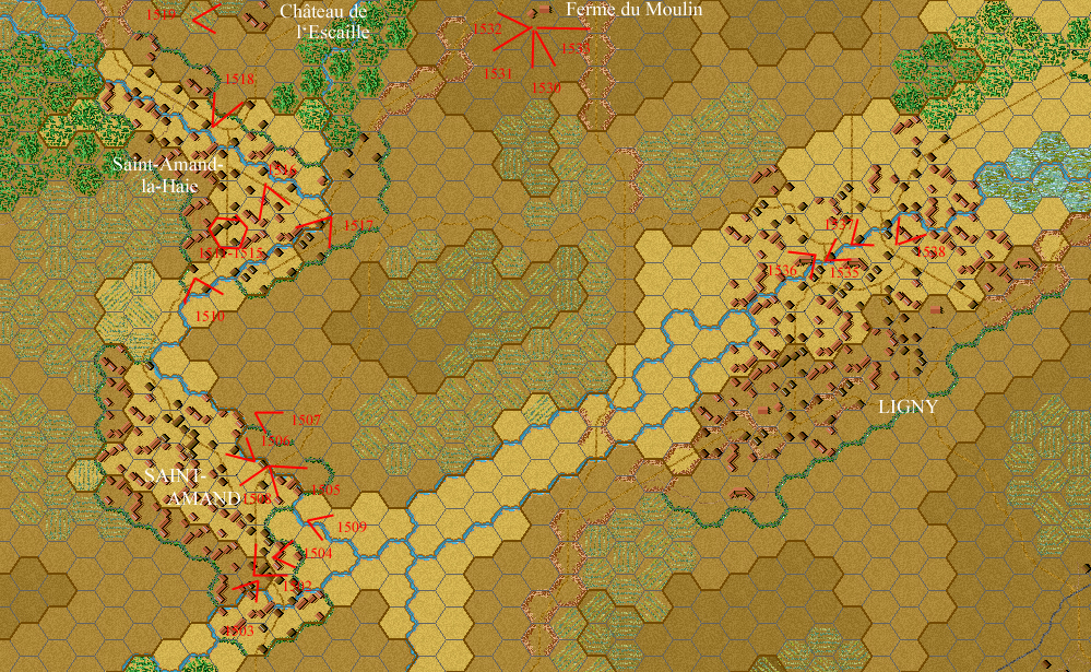
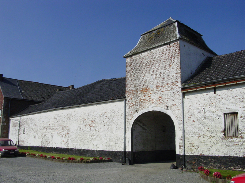
W1528. Looking north up the road from Saint-Amand-la-Haie to Brye. The Ferme du Moulin (Mill Farm, site of the famous windmill, and Blücher's headquarters on 16 June 1815) is visible at right.
W1529. Old farmstead on the north side of Brye, hex (430,239) on Campaign Waterloo map.
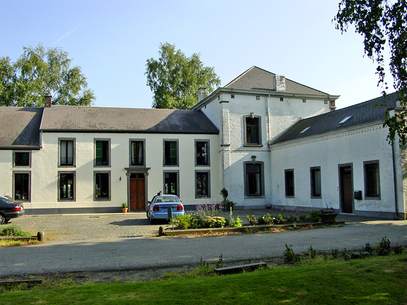
W1534. The Ferme du Moulin, southeast of Brye. This farmhouse, still in the possession of descendents of the 1815 proprietor, served as Blücher's headquarters on 16 June 1815. Hex (436,244) on Campaign Waterloo map.
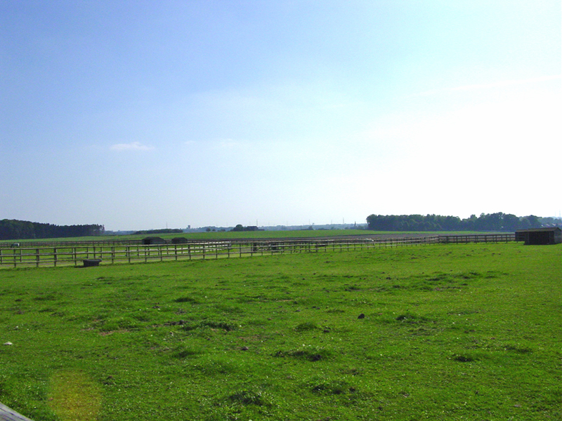
W1530. Looking from the Ferme du Moulin, southward to Fleurus. The water tower on the horizon at left center is very close to the Moulin Naveau, Napoleon's observatory on 16 June 1815. The meadow in the foreground contains the foundations of the windmill that stood near the farm in 1815. With their telescopes, Blücher and Napoleon could have made eye-contact during the battle.
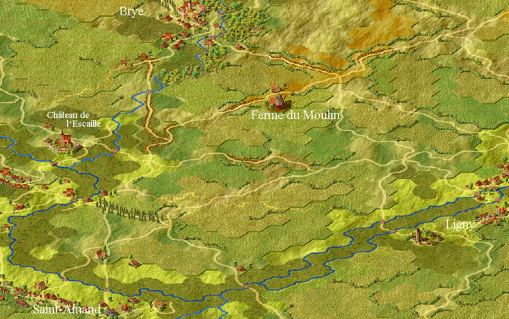
The fields around the Ferme du Moulin, as depicted on the Prelude to Waterloo 3-D map.
W1531. Looking from the Ferme du Moulin, south-southwest toward Saint-Amand. The Saint-Amand church is just visible at far left.
W1532. Looking from the Ferme du Moulin, west toward Wagnelée.
W1535. Looking from the Ferme du Moulin, northwest toward Brye.
W1533. Looking from the Ferme du Moulin, southeast toward Ligny. The steeple of the Ligny church is visible at center. The original church, heavily damaged in the battle on 16 June 1815, was replaced by a new structure in 1905. The new church was built on the site of the original. It was near this spot that Blücher was pinned beneath his fallen horse and very nearly captured as darkness fell on 16 June 1815.
"The situation in the Prussian center was now critical, and a desperate measure was needed to stop the army from being split in two. Blücher set himself at the head of three regiments of cavalry from I Armeekorps, the 6th Uhlans, the 1st West Prussian Dragoons and the 2nd Kurmark Landwehr Cavalry. These regiments had already suffered from the fire of the French batteries and were somewhat weakened. When Lützow's 6th Uhlans charged they were halted by the French fire and Lützow himself was taken prisoner after being trapped under his shot horse. A well-timed flanking attack by French cuirassiers in the Uhlans' right flank threw them back in disorder. The West Prussian Dragoons were likewise taken in the flank, as was the Landwehr Cavalry. All of the Prussians were put to flight. Horse Battery No. 2, which was trying to support the attack with fire on the French left flank, was surrounded by French cavalry, but the gunners managed to save the battery by taking it into Brye through an opening in the hedges. Blücher was in the middle of this chaos. Suddenly, a shot hit his horse and it fell to the ground, trapping the old field marshal underneath it. Nostitz, his ADC, was the only person to notice this in the confusion. As his horse, too, had just been shot, he stayed to protect the Prince. Two more charges of French cavalry passed over the pair before help could arrive. The injured Blücher was carried away from the scene on the horse of Sergeant Schneider of the 2nd Squadron of the 6th Uhlans, a small incident that had lasting implications for European history. The Battle of Waterloo could hardly have been fought and won without Blücher's geat contribution two days later." Peter Hofschröer, 1815: The Waterloo Campaign, pp. 321-3.

Ligny as depicted on the Prelude to Waterloo 3-D map.
W1536. The Ligne Brook, looking north from the bridge by the Ligny water mill. Hex (446,251) on Campaign Waterloo map.
W1537. The old water mill in Ligny, hex (445,252), designated a château in Campaign Waterloo.
"In this fighting the 10th Company of the 19th was outflanked, and forced to withdraw, not an easy matter as a pond blocked its reteat. The only available route was along the mill street which was under hostile fire." Peter Hofschröer, 1815: The Waterloo Campaign, p. 308.
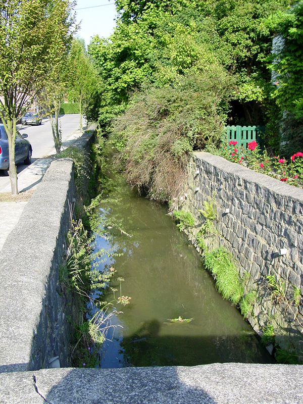
W1538. The Ligne Brook in central Ligny, looking north. Hex (446,251) on Campaign Waterloo map.
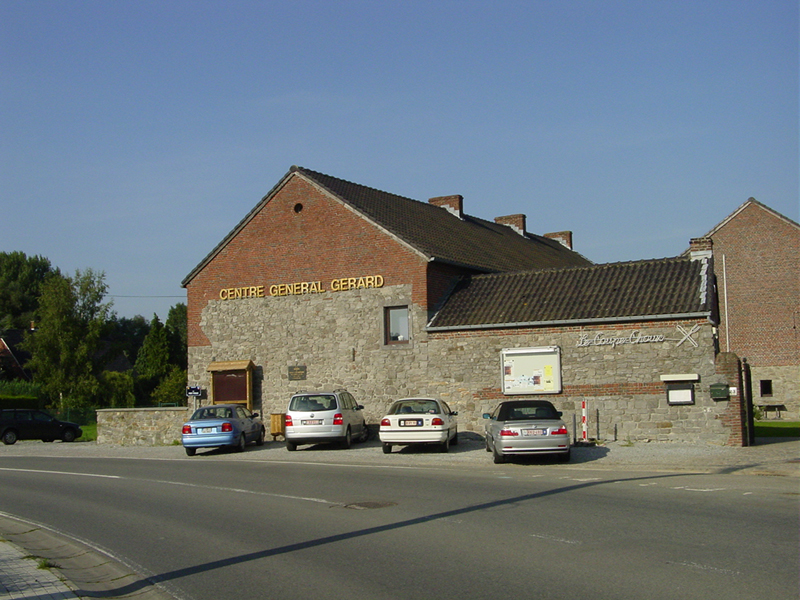
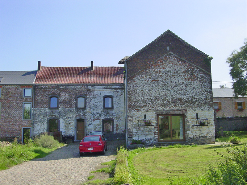
W1539. The Centre Général Gérard, Ligny's historical museum, named for the commander of the French IV Corps. The wall bears a plaque commemorating Général Le Capitaine (1765-1815), commander of the 1e Brigade, 13e Division, IV Corps, killed near here on 16 June 1815. These buildings, present in 1815, are thought to have been used as a French field hospital after the battle. Hex (449,251) on the Campaign Waterloo map.
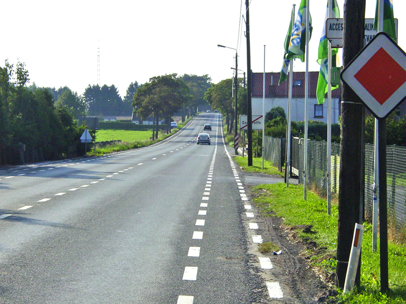
Looking west-northwest from the western edge of Sombreffe along the road to Quatre-Bras and Nivelles, Belgian highway N93.